Hurricane Hazel and the Grand Strand: The 1954 Storm That Reshaped the Coast
For generations of Grand Strand families, one storm name has carried special weight: Hazel. In October 1954, Hurricane Hazel came ashore near the border between North and South Carolina as a powerful major hurricane. Its winds and storm surge devastated beach communities along the northern Grand Strand and the southern North Carolina coast. Decades later, Hazel remains a reference point for how people here understand hurricanes.
The storm
Hazel formed near the Windward Islands in early October 1954, moved through the Caribbean and caused severe loss of life in Haiti before turning north. It made landfall near the North Carolina and South Carolina state line on October 15, 1954. The storm struck at a time that coincided with a high tide, which made the storm surge especially destructive. After landfall, Hazel moved rapidly inland, carrying damaging winds far from the coast and into the northeastern United States and Canada, where it also caused deadly flooding.
Impact on the Grand Strand
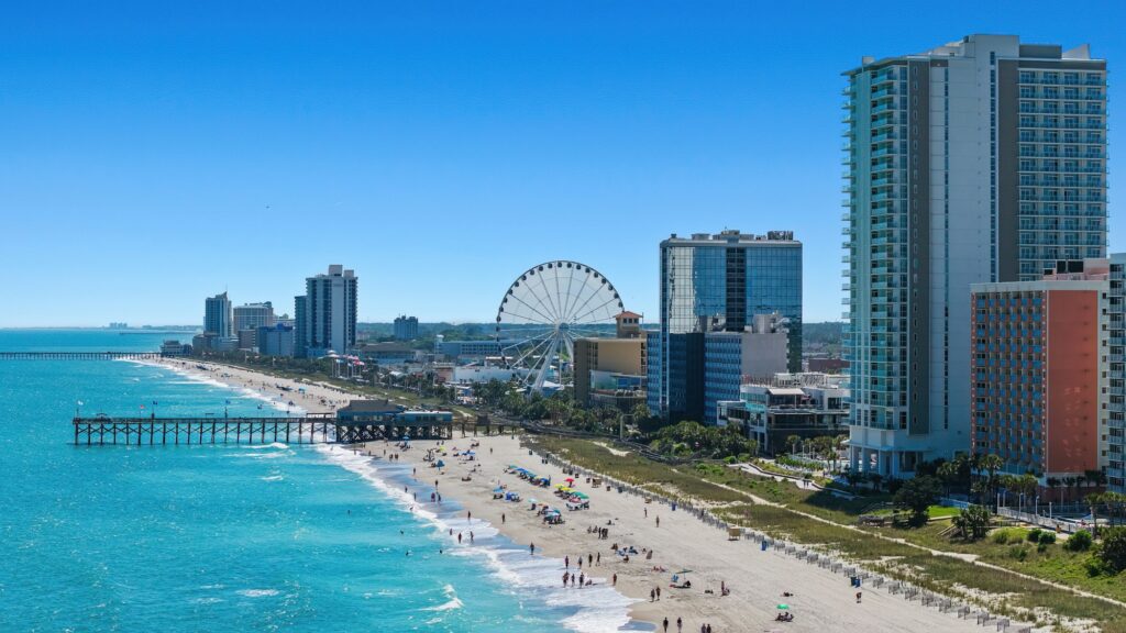
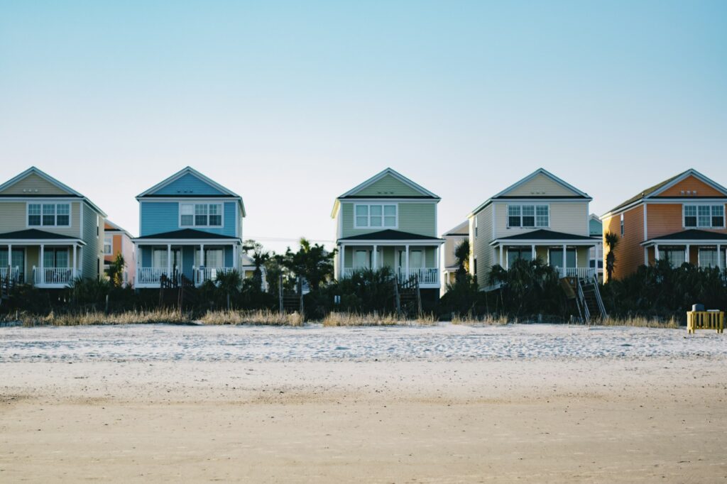
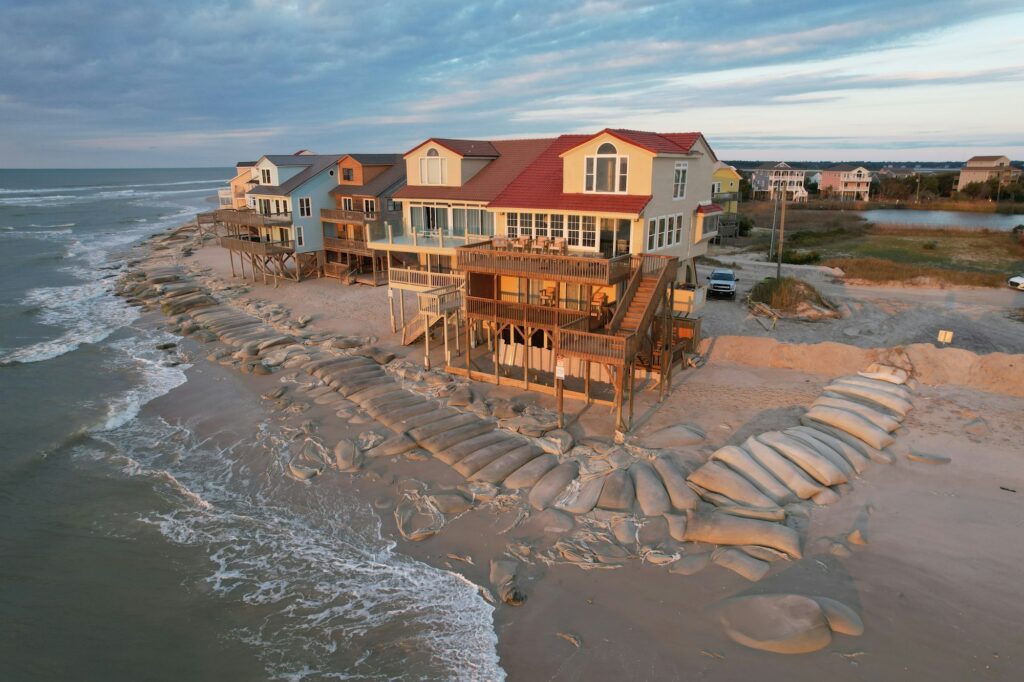
The northern Grand Strand took the brunt of the storm in South Carolina. Beach communities such as Cherry Grove, Ocean Drive, Crescent Beach and Windy Hill suffered heavy damage. Many oceanfront homes were destroyed or washed away, and the surge reshaped the beach and dunes. Farther south, Myrtle Beach and other communities also experienced damage, though conditions varied along the coast.
Accounts from the time and the memories of survivors describe homes reduced to foundations, roads buried in sand and debris scattered far inland. Advance warnings and evacuations helped many people escape, but the destruction was immense.
Rebuilding and change
After Hazel, the Grand Strand rebuilt. In many ways, the storm marked a turning point in the area’s development. Much of the beachfront was rebuilt in the following years, and the region’s postwar growth as a vacation destination continued. The small beach communities on the north end later joined together, along with others, to form the City of North Myrtle Beach in 1968.
Hazel also influenced how people thought about building on the coast and preparing for storms. The memory of the storm became a lasting reminder of the power of surge and the vulnerability of low-lying beachfront areas. Hazel’s name was retired from the list of Atlantic hurricane names.
Lessons that still matter
Hazel is history, but its lessons are current:
- Storm surge is the greatest threat. Hazel’s devastation came largely from water, not just wind. Today, evacuation zones are drawn mainly around surge risk. Look up yours at scemd.org.
- Timing matters. A storm arriving at high tide can push water much farther inland.
- Storms can strike late in the season. Hazel came in mid-October, a reminder that the hurricane season runs through November.
- Preparation saves lives. Warnings and evacuations helped then, and they are far more advanced now. Follow official orders.
Remembering Hazel
Many longtime residents and their families have stories about Hazel, and local museums, libraries and historical societies preserve photographs and accounts. If you are curious, check local history collections, such as those at area libraries and museums, to see images of the coast before and after the storm. Understanding Hazel helps explain the Grand Strand as it is today, a place that has been knocked down by the sea and rebuilt with resilience and respect for the water.
Understanding Storm Surge Through Hazel
Hazel is often used to explain why storm surge, more than wind, is the greatest danger in a coastal hurricane. Understanding how surge works helps make sense of what happened on the north end of the Grand Strand.
What surge is
Storm surge is the rise in sea level pushed ashore by a hurricane’s winds. As a storm approaches the coast, its winds drive ocean water toward land. On a gently sloping coastline, that water piles up and spreads inland across beaches, dunes and low ground.
Why the tide matters
Surge adds to the normal tide. When a hurricane arrives at high tide, the combined water level is higher than if the same storm arrived at low tide. That is why the timing of Hazel’s landfall made such a difference.
Why the right side of the storm is worse
In the Northern Hemisphere, the strongest onshore winds and the highest surge typically occur to the right of a hurricane’s path, relative to its direction of travel. For a storm coming ashore from the south, communities just east and north of the landfall point often experience the worst conditions, while areas farther away may see less severe effects.
Why waves make it worse
On top of the surge, large, wind-driven waves batter whatever is in their path. Together, surge and waves can scour sand, undermine foundations and carry debris far from the beach.
What Hazel Means for Owners and Renters Today
For anyone who owns, rents or visits property on the Grand Strand, Hazel’s story translates into a few practical habits.
- Know your evacuation zone and leave when officials tell your zone to go, even if the storm’s category seems modest.
- Know your flood zone. Check your property’s FEMA flood designation and ask a licensed agent about flood coverage, since standard homeowners policies generally do not include it.
- Understand your elevation. Homes built higher above expected flood levels may fare better in surge. A local building professional can explain what applies to your property.
- Respect the dunes. Healthy dunes act as a natural buffer against surge and waves. Use walkovers and never trample dune vegetation.
- Plan for late-season storms. Keep your storm plan active through the end of hurricane season, not just the summer months.
Exploring Hazel’s History
If you want to learn more about Hazel and the Grand Strand of the 1950s, here are a few ways to start:
- Visit local libraries. Ask about local history rooms, photograph collections and newspaper archives from the period.
- Look for museum exhibits. Regional museums and historical societies sometimes display photos and artifacts from major storms.
- Read official storm records. Federal weather agencies keep historical summaries of major hurricanes that explain the meteorology of the storm.
- Listen to family stories. If you know longtime residents, ask what they or their parents remember. Oral history captures details that records often miss.
Questions Readers Ask
Could a storm like Hazel happen again? Major hurricanes remain possible along the Carolina coast. That is why preparation, building standards and evacuation planning matter.
Why are hurricane names retired? Names of especially deadly or destructive storms are removed from the rotating lists so they are not reused.
Is the Grand Strand safer now? Forecasting, warnings and building practices have improved greatly, but surge remains a serious threat. Following official guidance is still the most important step.